Content:
DeLorme® Atlases
Including comprehensive state details.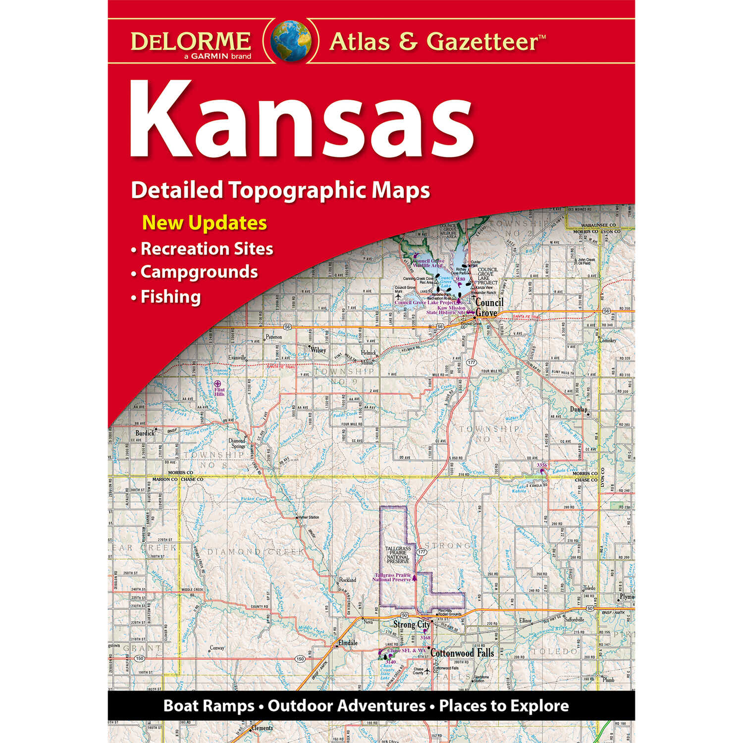
Share by:
These 11” x 15-1/2” paperback atlases cover individual states in their entirety. Atlases come with full-color topographic maps. Scale: 1” to 2.4 miles, except for mountain states, including Montana, that are all 1” to 4 miles except Colorado; Texas is 1” to 6.3 miles; New Hampshire/Vermont scale is 1” to 1.74 miles. Atlases identify back roads, dirt roads, trails, lakes, streams, public lands, forests, wetlands, and also locate boat ramps, campgrounds, campsites, railroads, airfields, and powerlines. Includes an index of place names from major cities to country crossroads.
We encourage our customers to let us know what experiences they have had with our products, whether good or bad. By submitting a review, you can share your experiences with others and also provide valuable feedback to us as well. With just a few simple steps, you can add your review of this product.
 Have A Question About This Product?
What year was this Pennsylvania map book published?
Have A Question About This Product?
What year was this Pennsylvania map book published?